
August 04, 2026

5 minutes read

5 minutes read

By

Hiking in Baiersbronn

Gourmet trails, glacial lakes and the Black Forest National Park. The loveliest routes around Obertal.

Ein Paar wandert über eine Höhenwiese mit weitem Blick über die Schwarzwaldberge.

Few places in the Black Forest have made hiking so thoroughly their own as Baiersbronn. Around Obertal, Mitteltal and the valleys of the Murg and the Tonbach, a network of some 550 kilometres of waymarked paths runs through forest, meadow and high ground. That includes short strolls along the Rechtmurg as well as multi-day hikes in stages.

The region confidently calls its network the Baiersbronner Wanderhimmel, its hiking heaven, and the name is less a slogan than a description. Lace up your boots and within a few minutes you are in the forest, choosing between the Genießerpfade, the Himmelswege, the Heilklimawege and the long-distance Seensteig. What follows is an overview of the finest routes, and a few tips for starting out straight from the hotel.

A well-ordered trail network

What sets hiking in Baiersbronn apart is not only the number of trails but the order behind them. The Genießerpfade, the gourmet trails, are certified premium circular routes of between eleven and a good fourteen kilometres that deliberately pair landscape with a place to stop and eat. The Himmelswege, among them the 2-Seen-Tour, the Höhen-Tour, the Holzmacher-Tour and the Mönch-Tour, run for between eleven and twenty-one kilometres away from the roads. Then there are five numbered Heilklimawege, health-climate trails for measured walking in the bracing air of the higher ground, discovery trails for families and a selection of easy-access routes.

Your first port of call for maps, route advice and current trail closures is the Wander-Informationszentrum, the hiking information centre, at Freudenstädter Straße 40 in Baiersbronn.

“550 kilometres of marked trails, four Genießerpfade and a national park on the doorstep. Baiersbronn does not bear the title Wanderhimmel by chance.”
The four Genießerpfade

If you only have time for a day's hike, pick one of the four Genießerpfade.

Baiersbronner Tonbachsteig. 14.3 kilometres, around 4.5 hours, roughly 480 metres of ascent. The longest of the four loops climbs out of the Tonbach valley to clearings and lookout points.

Baiersbronner Panoramasteig. 13.9 kilometres with around 530 metres of ascent. The name says it all. Hardly any other loop strings together so many views across the valleys.

Baiersbronner Satteleisteig. 11.2 kilometres and 338 metres of ascent, the gentlest of the four tours and a good choice for the first hike of your holiday.

Baiersbronner Sankenbachsteig. 12.5 kilometres, around 4.5 hours. The highlights are the dark Sankenbachsee in its glacial cirque and the Sankenbach waterfall.

All four loops are waymarked throughout, run mostly on natural paths and pass at least one place to stop for refreshment on the way.

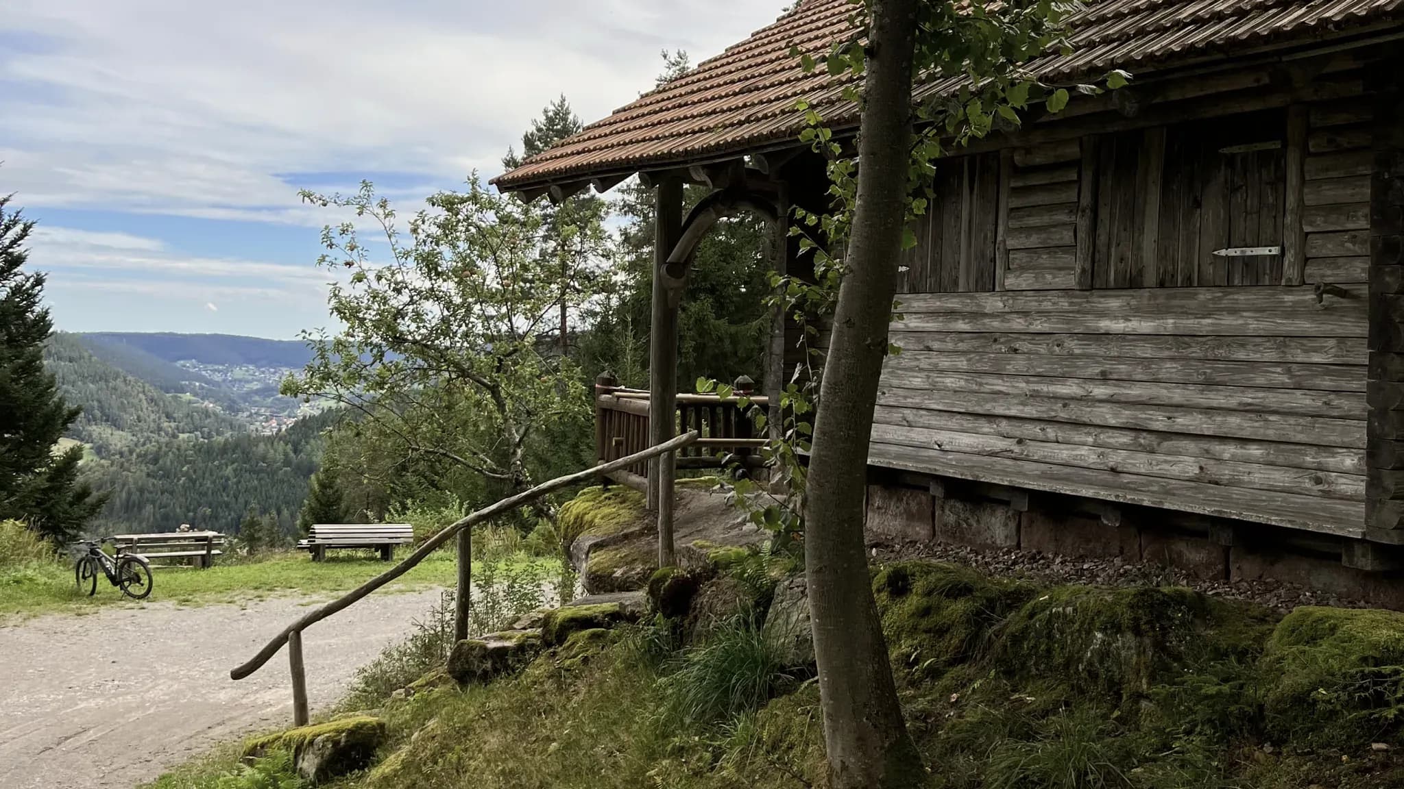
Verwitterte Holzhütte mit Vordach am Wanderweg, dahinter der Blick ins bewaldete Tal.

Old wooden huts line many of the paths around Baiersbronn.
The Seensteig in five stages

The flagship for multi-day walkers is the Baiersbronner Seensteig, just under 90 kilometres in five stages and certified as a Qualitätsweg Wanderbares Deutschland, a German mark of quality for hiking trails. More than a third of the route runs on unspoilt paths, a remarkable figure for a long-distance trail.

The Seensteig takes its name from the dark glacial lakes that the Ice Age carved into the north-facing slopes. The Buhlbachsee, Ellbachsee, Wilder See and Mummelsee lie strung out along the route. Guests in Obertal are especially well placed, as the quiet Buhlbachsee is just around the corner and can also be walked as a short half-day tour.

The Black Forest National Park next door

To the west, Baiersbronn borders directly on the Black Forest National Park, the first protected area of its kind in Baden-Württemberg. Here the forest is allowed to become wilderness again. Fallen trunks stay where they lie, and bogs and forest reserves develop without human intervention.

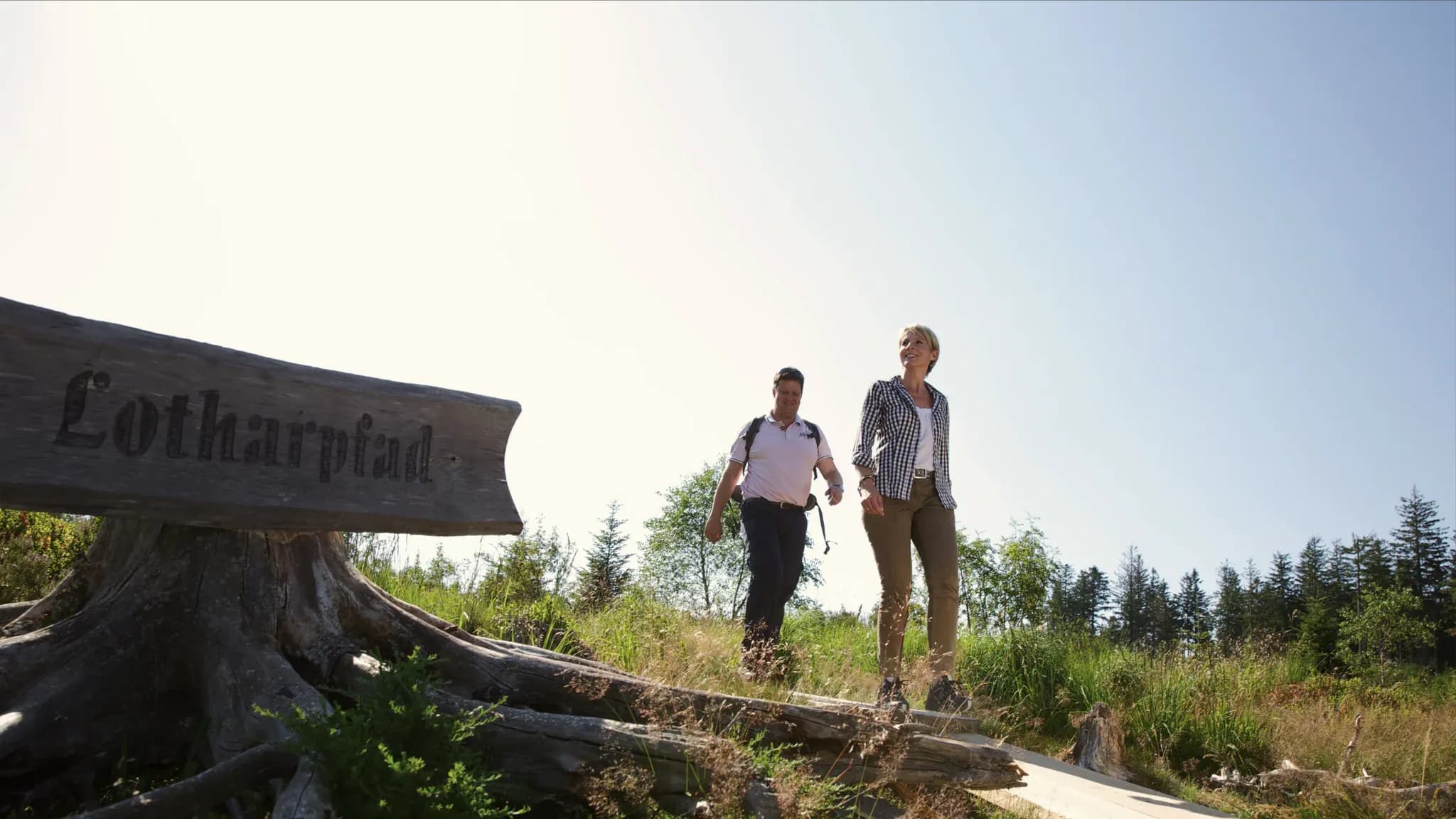
For walkers, the Lotharpfad is particularly rewarding. On boardwalks and ladders, it crosses a swathe of forest felled by Storm Lothar, and there is also the loop around the Wilder See at Ruhestein. If you would like to delve deeper, join one of the ranger-led tours run by the National Park Centre. We have devoted a separate article to the subject.

Hölzerner Wegweiser mit der Aufschrift Lotharpfad, dahinter zwei Wanderer auf dem Weg.

The Lotharpfad leads over boardwalks and ladders through the storm-felled area of the national park.

Stopping off in the Wanderhimmel

Stopping for refreshment is as much a part of hiking in Baiersbronn as gaining height is of the climb. Spread across the valleys are huts serving food and drink that make good destinations, such as Sackmanns Panoramahütte, the Pudelsteinhütte, the Ellbachhütte or the Walterhütte right in Obertal. Many routes can be planned so that the break for a bite to eat marks the turning point. First the climb, then a snack with a view, and finally a leisurely descent back into the valley.

From Engel Obertal, with a guide or on your own

Many routes start right at the door of the hotel in the Rechtmurg valley, and the forest is a few minutes' walk away. If you would rather explore the region with local knowledge at hand, join a guided hike with hiking guide Willi Seid, who has known the paths of the northern Black Forest for decades. For those heading out on their own, the hotel has detailed route suggestions ready, along with equipment to borrow, hiking rucksacks and walking poles included.

Hiking in Baiersbronn is not a question of the season. In spring the meadows in the valley glow, in summer the firs give shade, autumn colours the slopes, and in winter many paths are groomed as winter walking trails. Besides, the sauna for afterwards is never far away.

Aktiv

Further reading

Related articles

  • Tennisspieler beim Aufschlag auf einem Sandplatz, von oben fotografiert, mit langen Schatten auf dem Platz.

    Engel Obertal

    September 29, 2026

    Tennis at Engel Obertal

    Three clay courts in the Buhlbach valley, around 15 minutes on foot from the hotel. Guests of the Engel can play at the Tennisgemeinschaft Obertal, the local tennis club.
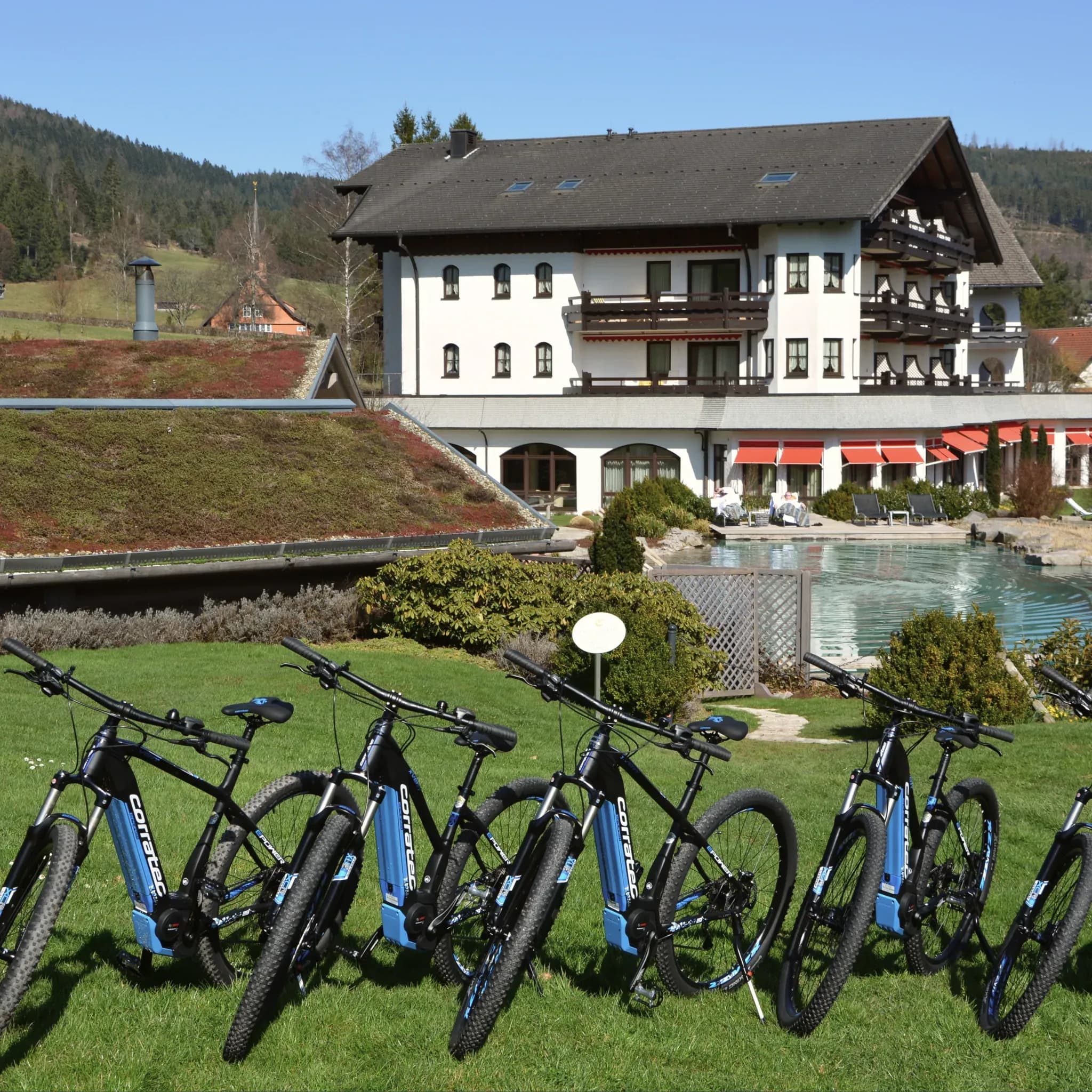
  • Reihe blauer E-Bikes auf der Wiese vor dem Hotel mit Naturpool.

    Engel Obertal

    August 28, 2026

    Cycle routes from Engel Obertal

    Four routes, from a panoramic loop to the Tour de Murg. And the hotel's own e-bike fleet for a tailwind.
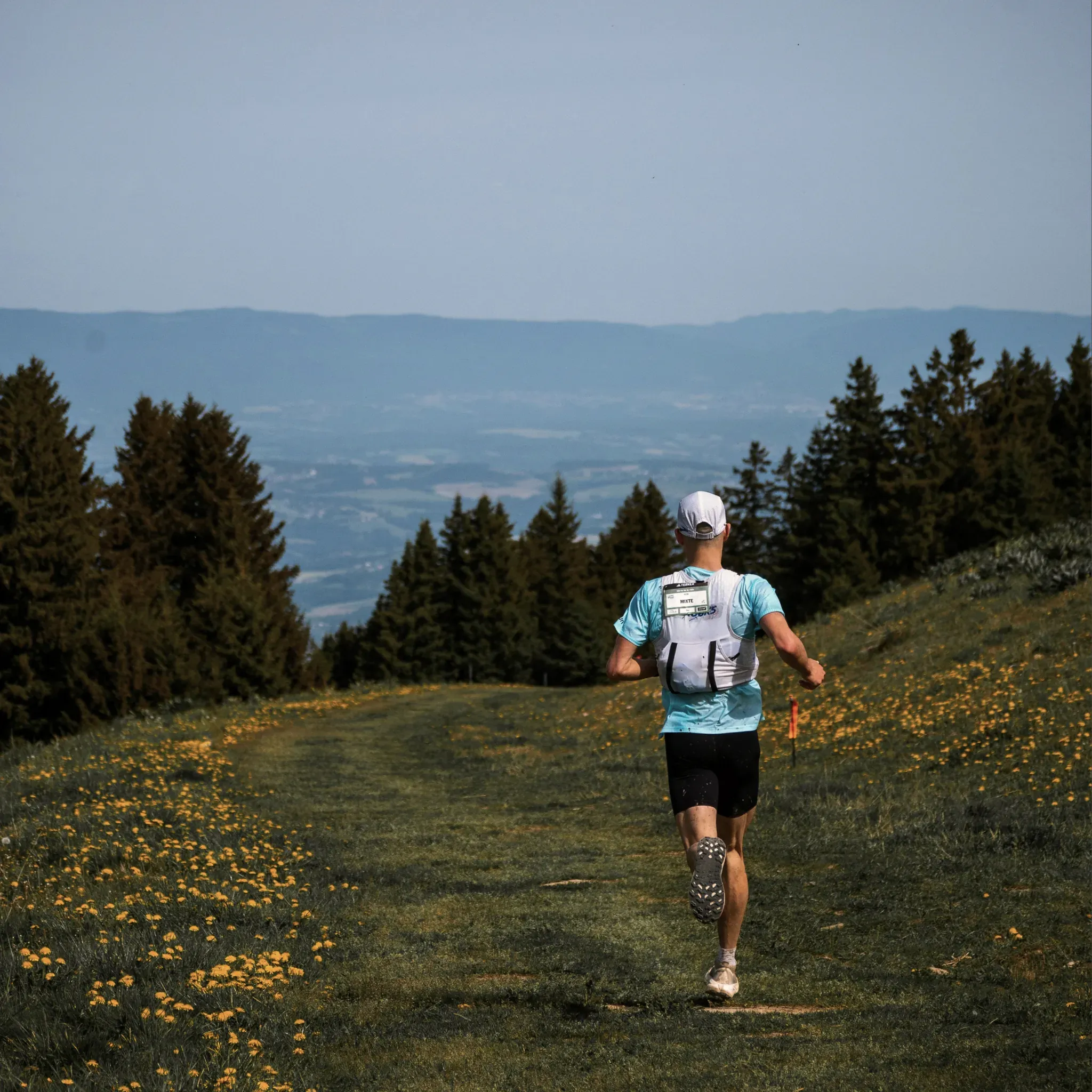
  • Läufer mit Trinkweste joggt über eine blühende Bergwiese am Waldrand.

    Engel Obertal

    August 25, 2026

    Running routes at Engel Obertal

    Four loops between 2.7 and 8.2 kilometres. An easy morning run at one end, a demanding forest loop at the other.

  • Tennisspieler beim Aufschlag auf einem Sandplatz, von oben fotografiert, mit langen Schatten auf dem Platz.

    Engel Obertal

    September 29, 2026

    Tennis at Engel Obertal

    Three clay courts in the Buhlbach valley, around 15 minutes on foot from the hotel. Guests of the Engel can play at the Tennisgemeinschaft Obertal, the local tennis club.

  • Reihe blauer E-Bikes auf der Wiese vor dem Hotel mit Naturpool.

    Engel Obertal

    August 28, 2026

    Cycle routes from Engel Obertal

    Four routes, from a panoramic loop to the Tour de Murg. And the hotel's own e-bike fleet for a tailwind.

  • Läufer mit Trinkweste joggt über eine blühende Bergwiese am Waldrand.

    Engel Obertal

    August 25, 2026

    Running routes at Engel Obertal

    Four loops between 2.7 and 8.2 kilometres. An easy morning run at one end, a demanding forest loop at the other.

  • Tennisspieler beim Aufschlag auf einem Sandplatz, von oben fotografiert, mit langen Schatten auf dem Platz.

    Engel Obertal

    September 29, 2026

    Tennis at Engel Obertal

    Three clay courts in the Buhlbach valley, around 15 minutes on foot from the hotel. Guests of the Engel can play at the Tennisgemeinschaft Obertal, the local tennis club.

  • Reihe blauer E-Bikes auf der Wiese vor dem Hotel mit Naturpool.

    Engel Obertal

    August 28, 2026

    Cycle routes from Engel Obertal

    Four routes, from a panoramic loop to the Tour de Murg. And the hotel's own e-bike fleet for a tailwind.

  • Läufer mit Trinkweste joggt über eine blühende Bergwiese am Waldrand.

    Engel Obertal

    August 25, 2026

    Running routes at Engel Obertal

    Four loops between 2.7 and 8.2 kilometres. An easy morning run at one end, a demanding forest loop at the other.